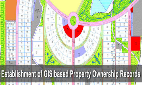
Establishment of GIS based Property Ownership Records
Establishment of GIS based Property Ownership Records
Just as there is a Unique Identification (UID) for Individuals, there should also be a
UID for Properties, since this is a Permanent and Valuable Asset.
Proper documentation of Land Ownership will avoid the issues of fraud and duplicate
ownership in Property related Transactions.
This also greatly enhances the revenue of the Government since all Properties are mapped
and recorded. Tax defaulters can easily be identified.
This helps the Government detect encroachments on Government Land.
All of this information is managed in a Digital Database and Customized Maps and GIS
software can be created to rapidly and accurately distribute this information to the
Public and Government Authorities.
Urban Area Cadastral Mapping
In Urban Areas, land is very costly and so the tolerances should be < 10cm per property
corner. Extensive Ground Validation and Verification is required for Urban Area Surveys.
The requirements for Urban Area Survey can only be achieved by Ground Survey